When planning your visit to the Lake Myvatn area, I recommend making some time for the Krafla Viti Crater and Lava Fields Hike. These are 2 different hikes but the first one is so short that I believe they should be combined to get a better idea of the area.
Krafla is a volcanic area located in the North of Iceland, close to Lake Myvatn. The most famous part of this area is the Krafla Viti Crater, with a turquoise lake inside it. However, next to it you can also find beautiful multicolored sulfur fields and endless lava fields from previous eruptions.
Krafla
Krafla is a volcanic system in the northern part of Iceland. It is one of the country’s most explosive volcanoes, having erupted 29 times. The last eruption was in September 1984.
Krafla Viti Crater
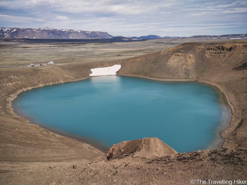
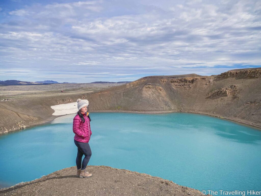
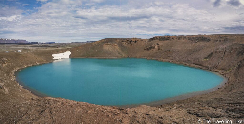
The Viti Crater is probably the most famous part of the Krafla Volcanic Region. It is a 300-meter diameter crater filled with turquoise-blue water. The color of the water is due to the bacteria present in the land and the region’s geothermal activity. The contrast between the blue of the water and the brown sulfur fields that surround it makes it an impressive site.
The name of the crater Viti translates into English as hell. There are two reasons for this. The first was because of the violence of its eruptions and the second one is because Icelanders believed that the entry to hell was under the volcanos.
Krafla Lava Fields
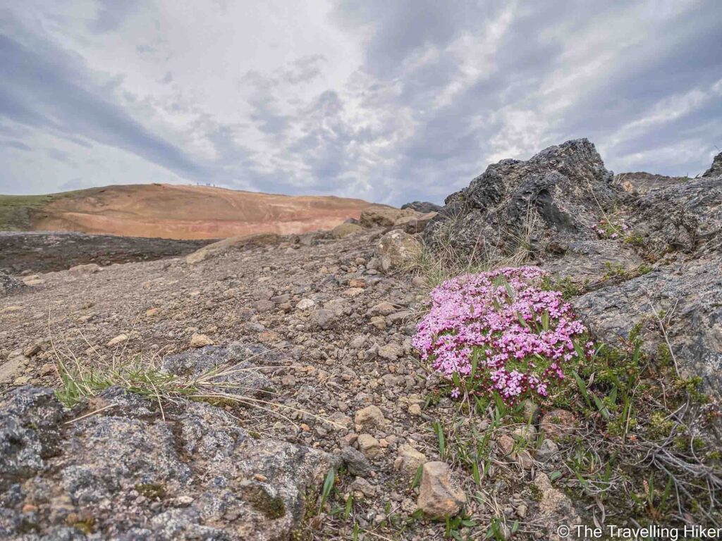
Not far from the Viti Crater, you can find the Krafla Lava Fields. This area is full of sulfur zones and lava from past eruptions of the caldera.
The most famous eruptions in this area were called the Myvatn fires which happened between 1724 and 1729. The eruptions were so intense that people could see them from the other side of the country.
This geothermal activity in this region is so powerful, that next to these fields there is a power plant that provides energy to most of the country.
Getting to Krafla
The Krafla Caldera is located in the North of Iceland in the Myvatn Lake area.
To get there, you will need to have a car as there is no public transport that will bring you here. Some guided tours around Myvatn Lake include a stop in the Viti Crater but they will rarely be there long enough for you to hike around the lava fields as well.
I have marked the locations of the crater and the lava fields in the following map. The time to drive there will depend on were you are staying.
- From Akureyri to Krafla it takes approximately 1h and 20min.
- From Lake Myvatn to Krafla it takes between 20- 40 minutes (depending on which part of the lake you are)
Accommodation in the Lake Myvatn area
There are many things to see and visit around Lake Myvatn. To be able to enjoy this beautiful region in the North of Iceland, I recommend spending a minimum of one night here. Here are some hotel and guesthouse recommendations.
My Experience Hiking in Krafla
Hike Summary
- Trail Start/End: Krafla Viti Parking & Leirhnjukur Parking (see map above)
- Distance: 5 km.
- Elevation gain: 55 m
- Route Type: Circular
- Time: 2h
Equipment needed
Both hikes are relatively easy to do so there is no that much equipment needed. I would only recommend wearing sturdy hiking shoes to walk in between the lava fields.
Krafka Viti Crater
We began our hike in the Krafla volcanic region by visiting the Krafla Viti Crater. The parking lot is right next to the crater and you only need to walk a few meters to see the beautiful blue lake inside it.
The contrast between the lake and the crater is so pretty. I could have spent hours just looking at it. The trail takes you along the rim of the crater until its highest point. In the past, it used to be possible to walk completely around the crater but now it is closed for security reasons and you can only do around a third of the perimeter.
We went as far as it was possible to go and returned to the car. Despite it being a really short hike, this crater is a must-stop in the Krafla region.
Important: It is not possible to swim in this lake!
Sulfur Fields
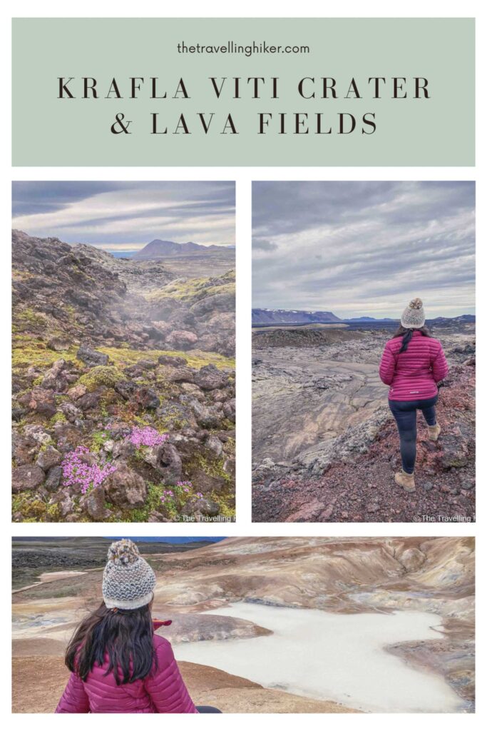
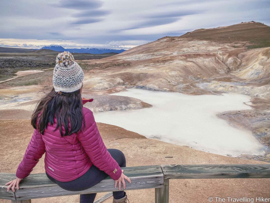
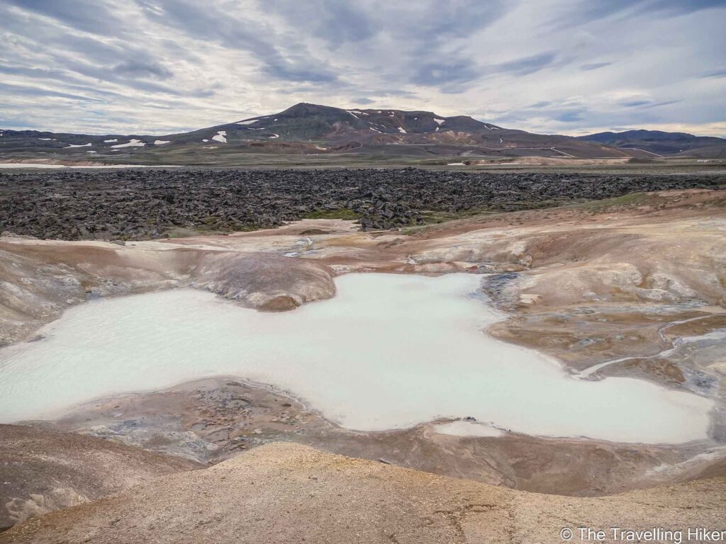
Once we were done with the crater, we got in the car again and drove 800m to the Leirhnjukur parking lot where the second part of our hike began. For the first few hundred meters, you will walk through lava fields covered in moss with little flowers growing on them but right after, the sulfur fields will begin.
These fields, despite smelling like rotten eggs, are so so pretty. It feels like you are on another planet. And to make it even more special, unlike with the Hverir sulfur fields we were there completely alone!
Lava Fields
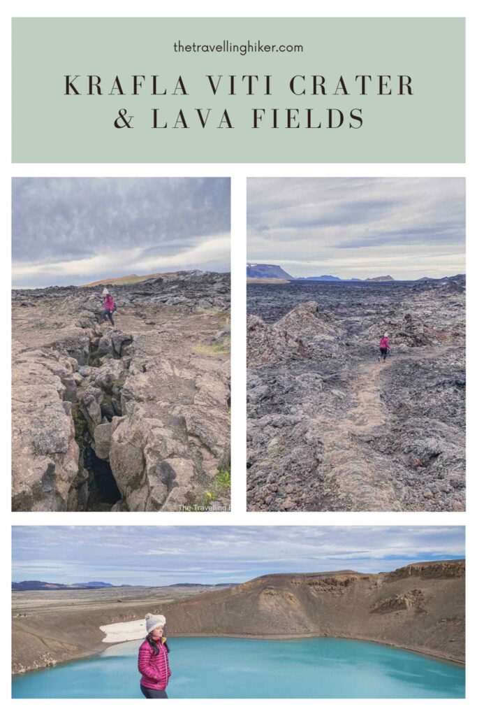
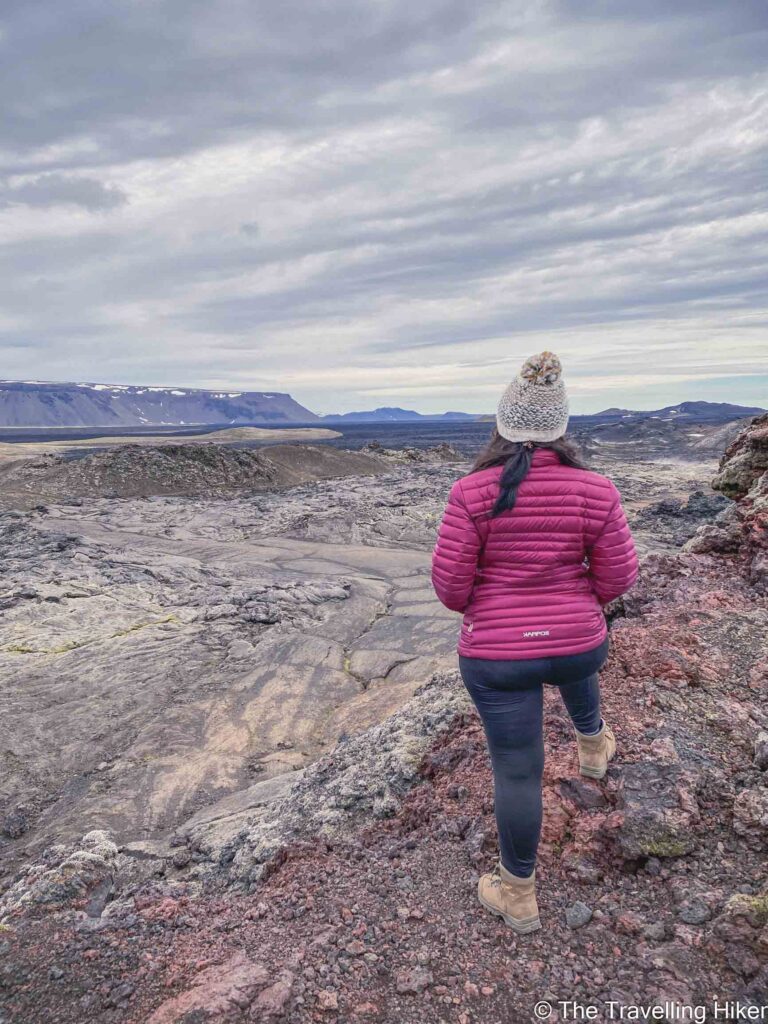
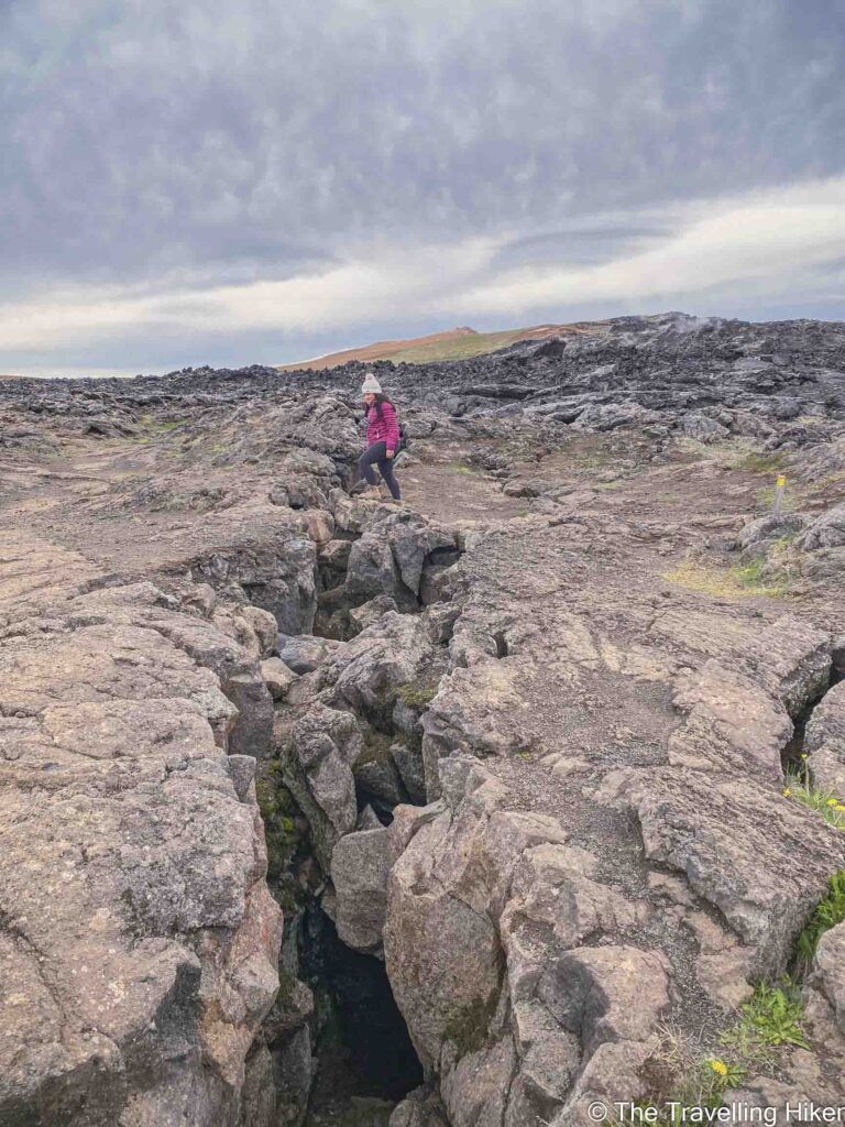
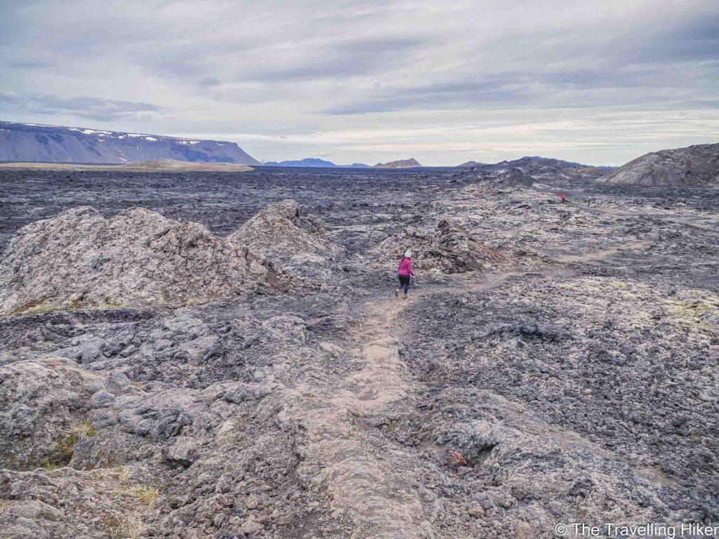
After the sulfur fields, we bordered the Leirhnjukur crater and the lava fields that surround it. The lava is endless but it doesn’t feel monotonous. I found myself wanting to explore every part of it. At some points, we even got to cross some fissures in the ground in which you could not see the end.
It was a fantastic hike to do on our last morning in the Myvatn area.
DISCLAIMER: This post contains affiliate links. Clicking and buying from them will be at no additional cost to you but I will get a small commission.
Other articles about Iceland
- PLAN YOUR TRIP TO ICELAND ON YOUR OWN
- TWO WEEKS ICELAND ROAD TRIP ITINERARY
- 20 BEST THINGS TO DO AND SEE IN REYKJAVIK
- HIKING IN THINGVELLIR NATIONAL PARK
- RENTING A CAR & DRIVING IN ICELAND – EVERYTHING YOU NEED TO KNOW
- ONE DAY IN THE GOLDEN CIRCLE
- THE SKOGA TRAIL – THE HIKE BEHIND SKOGAFOSS
- KVERNUFOSS – THE LESS VISITED WATERFALL NEXT TO SKOGAFOSS
- HIKING IN SKAFTAFELL NATIONAL PARK
- 21 WATERFALLS THAT YOU CAN’T MISS IN ICELAND
- KAYAKING IN JOKULSARLON
- KRAFLA VITI CRATER AND LAVA FIELDS
- HIKING IN DIMMUBORGIR
- HVERFJALL CRATER HIKE
- GLACIER HIKING AT VATNAJOKULL
- HVERIR GEOTHERMAL AREA
Enjoyed this guide? Pin it for later!
