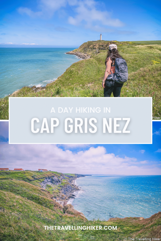
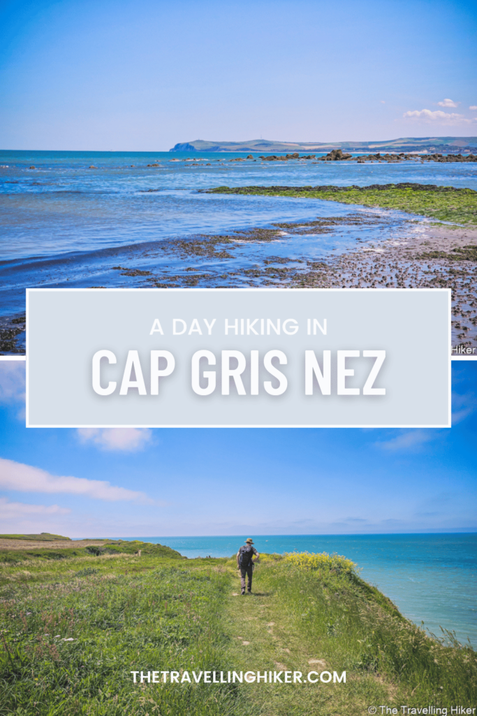
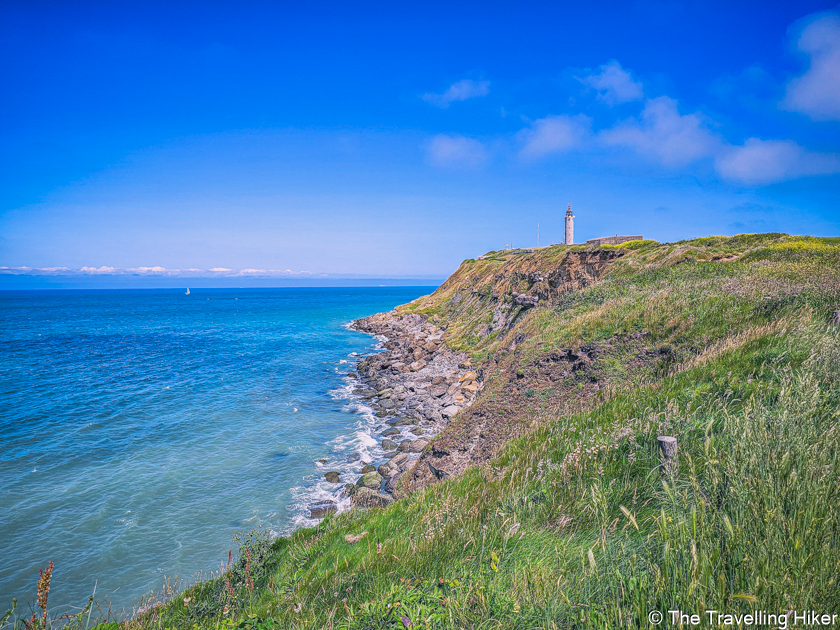
Cap Gris Nez, is a not-so-known hike in the north of France, near Calais and the border of Belgium. But after completing it, I strongly believe it is one of the most beautiful hikes you can do on the Opal Coast.
Located within the “Grand Site des Deux Caps”, this hike offers a mix of endless farming fields, a rugged coastline, breathtaking views of the sea, and even some history, with several fortifications and bunkers located along the way. To make it even more special, if you get a clear day, you will also see the white cliffs of Dover on the other side of the English Channel.
Hiking in Cap Gris Nez on the Opal Coast is still a relatively “hidden gem” for those looking for an active but peaceful day on the coast. This trail offers a bit of adventure mixed with the stunning natural beauty of the coastline. Plus there is no better feeling than hiking with the sea breeze blowing your stress away!
Does this sound interesting? Then keep reading this blog to find out everything you need to know to have a fantastic day on the Opal Coast.
TABLE OF CONTENTS
INTERESTING FACTS ABOUT CAP GRIS NEZ
Here are some interesting facts about Cap Gris Nez that you might not know:
- Cap Gris Nez translates into English as “Grey Nose Cape“. However, the name originates from the old English expression “Craig ness”, which means rocky promontory.
- The cliffs of Cap Gris Nez are only 28 km away from the white cliffs of Dover, separated by the English Channel. On a clear day, it is possible to see them without binoculars.
- Cap Gris Nez is famous for its strong winds. The cliffs act as a barrier that forces winds coming from the sea to accelerate. The highest wind recorded was in 2008 with a speed over 150 km/h.
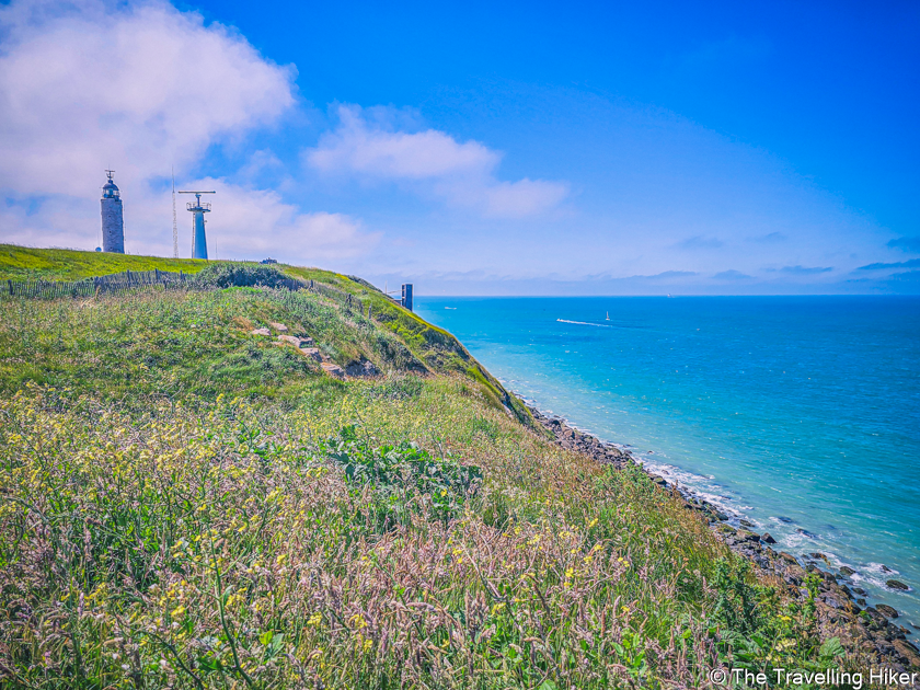
- Next to Gris Nez Lighthouse, there is a radar station monitoring the hundreds of ships that pass the English Channel daily. Some of these cargo ships are 400 meters long!
PRACTICAL INFORMATION ABOUT THE HIKE
Before I tell you about the wonderful day I spent in Cap Gris Nez, I would like to first share some practical information about this hike with you. This way, all you’ll have to worry about is having the time of your life!
GETTING TO CAP GRIS NEZ TRAILHEAD
The area around Cap Gris Nez is located within the Grand Site de Deux Caps, a regional Natural Park with remarkable and diverse landscapes, flora, and fauna. The cape is a stop-off place for millions of migrating birds every year.
But don’t worry, the site is accessible by car and driving is the most convenient way to get here. Here’s how to get there:
- From Belgium. It will all depend on where in Belgium you are driving from. If you’re driving from Brussels, the easiest way is to take the E40/A18 towards the coast. Keep following this road until you enter France. Then keep following the A16 road until exit 36 and then follow directions to Audinghen. It will take you approximately 2 hours and 30 minutes to get there.
- From France. The same applies to France, it will all depend on where in France you are driving from. If you’re driving from Paris, take the A16 until exit 36 and then follow directions to Audinghen. It will take you approximately 3 hours to get there.
EQUIPMENT NEEDED
The hike is not very demanding so you don’t need many things. Nevertheless, the following things will make your day much more enjoyable.
- Proper hiking shoes. The trail near the cliffs has some loose grabble areas. Having shoes with a decent grip will make your trail much more easy. I always use my Altra Lone Peak 6 during the summer as they are super light and comfortable.
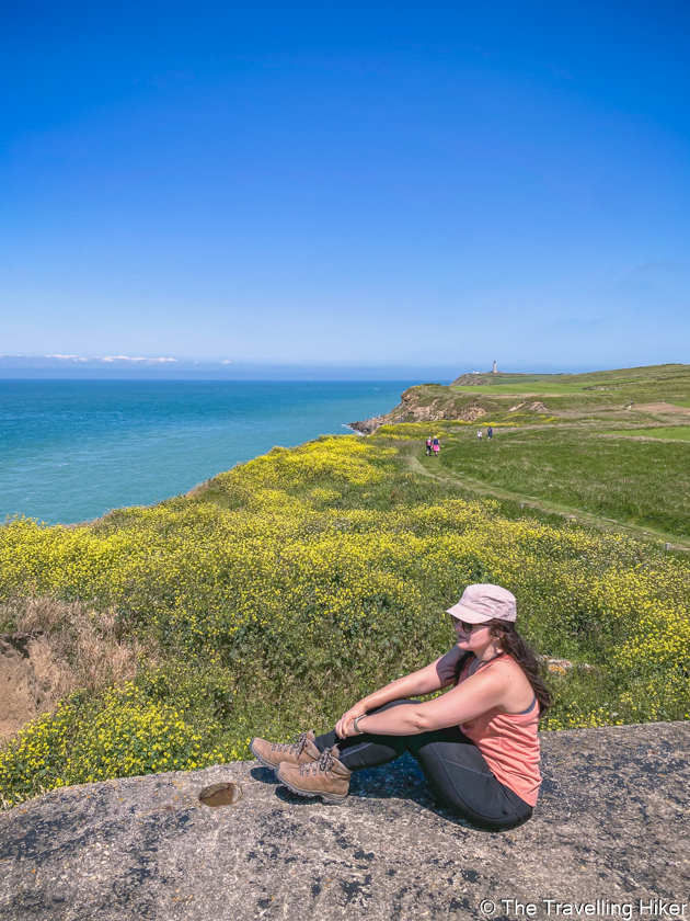
- A hat to protect you from the sun. There is barely any shadow along the trail. If you’re hiking on a sunny day, use plenty of sunscreen and a hat to protect you from the sun. I always use my Buff Pink Cap.
- A reusable water bottle. Hydration while hiking is key and during the summer months even more. Make sure to bring plenty of water for the complete hike as no water sources are along the trail. I used this Klean Kanteen Water bottle.
THINGS TO KNOW BEFORE THE HIKE
Here are some important things to know before you go on this hike.
- Part of the hike is closed due to unstable terrain next to the cliffs. There is a small detour on the inland to avoid any safety issues.
- There is access to the sea and a pebbled beach near the end of the hike (Cran Poulet). It is the perfect place to relax and end your hike. However, if you’re going to access and walk a bit far away from the entry point, please be aware of changing tides.
CAP GRIS NEZ HIKE - STEP BY STEP GUIDE
HIKE STATS
Trail Start/End – Parking next to Musée du Mur de l’Atlantique (exact location in the map at the end of this blog)
Distance – 12,1 km
Elevation Gain – 227 m
Level – Moderate
Route Type – Circular Route
Estimated Time Needed – 5 hours. This time includes plenty of time to stop for a picnic and relax and enjoy the scenery.
Best Time To Visit – Between May and September, to increase your chances of good weather
MY EXPERIENCE HIKING IN CAP GRIS NEZ
Inland Part Of The Trail
We parked our car at the parking next to the Atlantic Wall Museum (Todt Battery) and started walking towards the sea. After approximately 100 meters, the gravel road split into two and we chose to go right. This way, we began with the inland part of the trail which, even though it is nice, is less impressive.
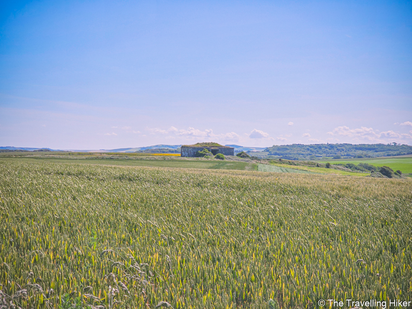
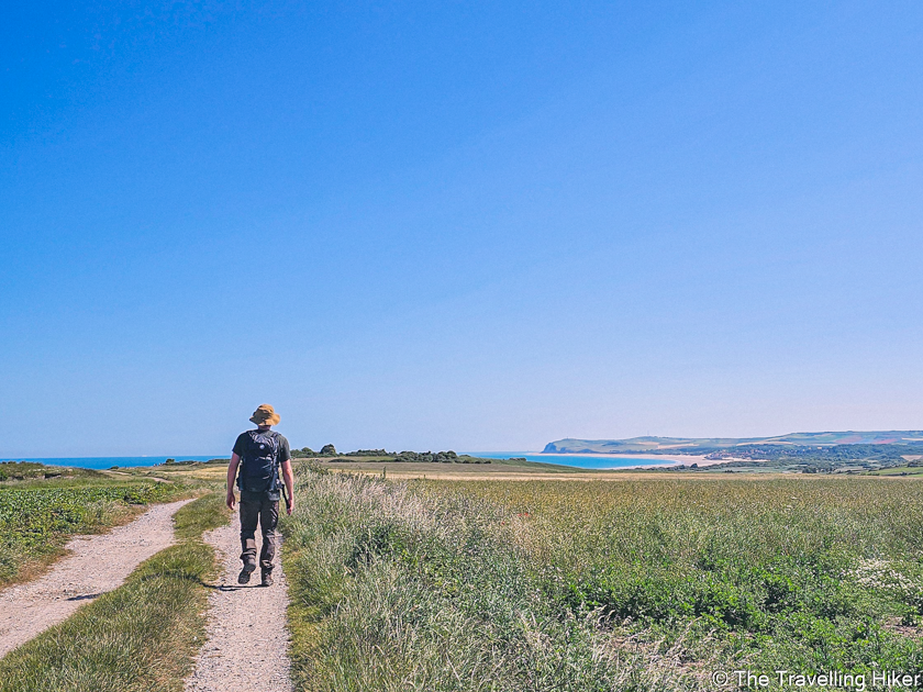
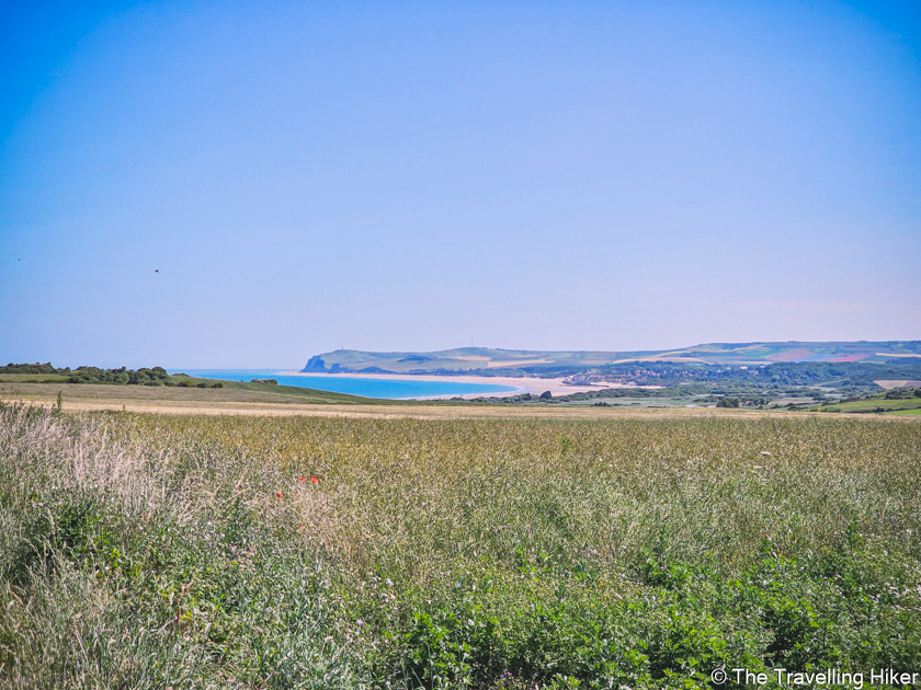
The first kilometers of this hike took place through wheat and linnen fields. From time to time, we got glimpses of the sea, Cap Gris Nez lighthouse, and the beautiful Cap Blanc Nez in the distance. Along the way, you will also find some fortifications and battery houses used during the war.
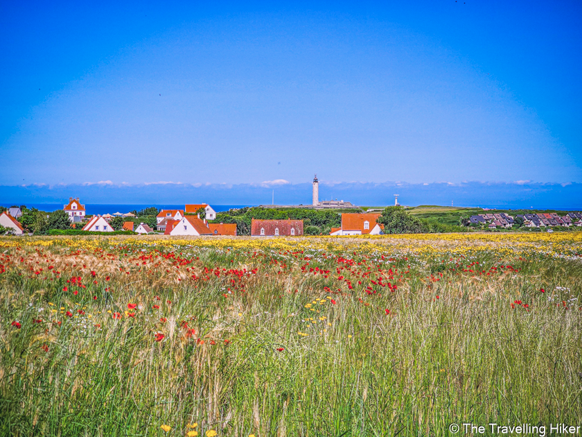
Cap Gris Nez Beach and Lighthouse
We kept following the trail until we reached the villages of Framezelle and Le Sodit, with cute little white houses and colored windows and doors. We walked through the village until we reached the small Cap Gris Nez Beach, the perfect place to sit, rest, and enjoy a little snack.
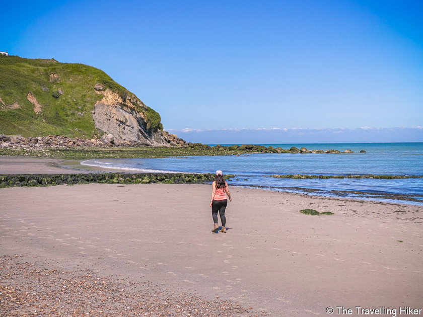
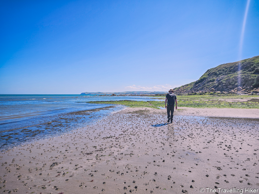
From the beach, it was time to start gaining some altitude gain (nothing too difficult) to reach Cap Gris Nez lighthouse. Next to the lighthouse, we saw Henry VIII’s fort and two viewpoints from where you can see England and the ships passing through the English Channel.
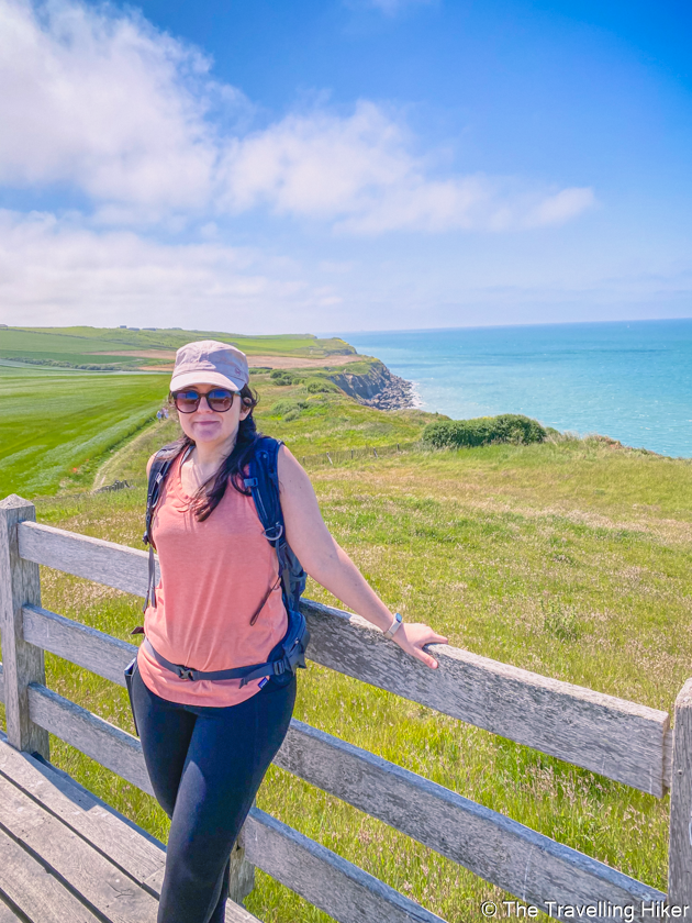
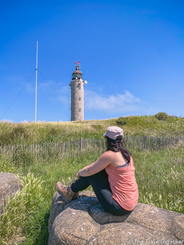
Walking Next To The Cliffs
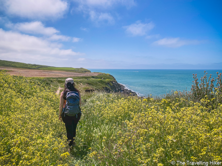
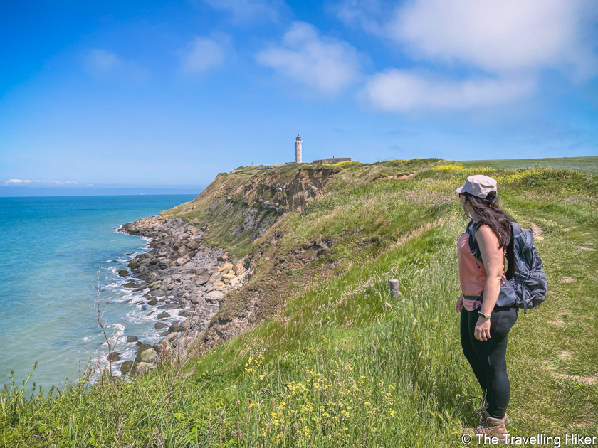
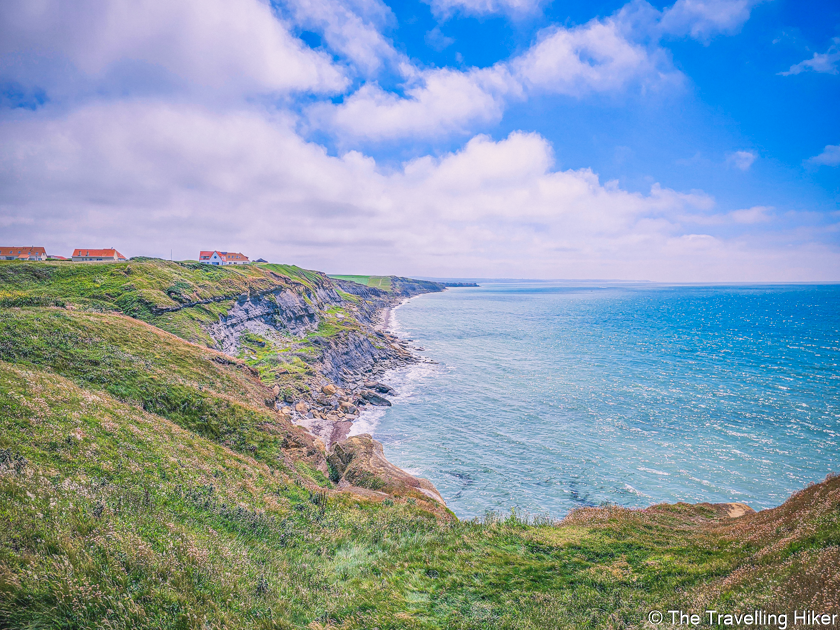
From the lighthouse, it was time for my favorite part of this hike. The walk next to the cliffs, with endless views of the sea and the breeze, was the highlight of this day. The contrast of the turquoise waters, with the rocks and green grass felt unreal. We had to stop and admire the view every few 100 meters.
Cran Poulet Beach
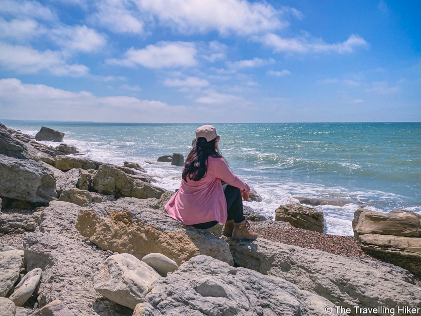
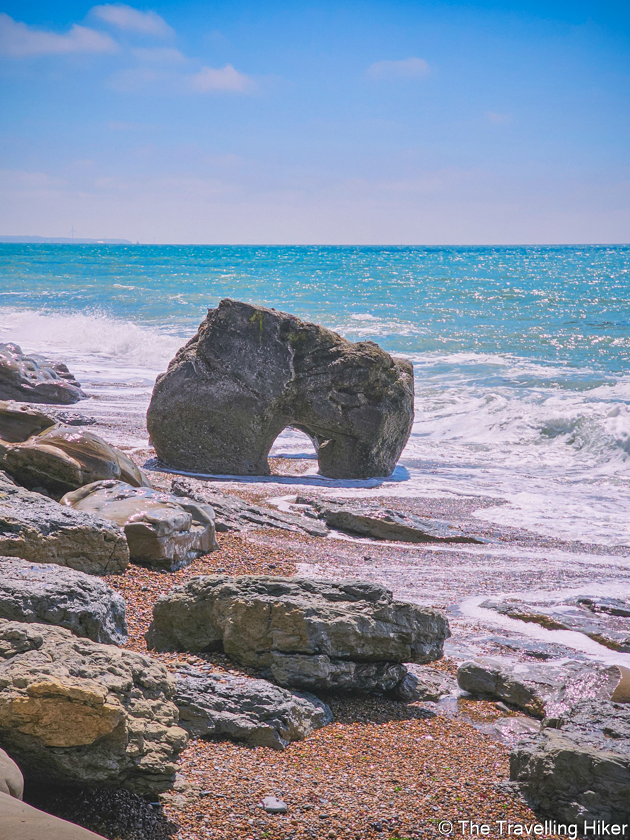
Right before the end of the hike, we reached Cran Poulet, a pebbled beach where we relaxed and enjoyed the waves crashing in the rocks. The tide was still low, so we found a nice place to enjoy the sun and the sea breeze. It was the best way to end our day on the Opal Coast.
ACCOMMODATION IN CAP GRIS NEZ
We only did this hike as a day trip from Belgium so we didn’t get accommodation in the area. However, if you have the time, this can be the perfect destination for a weekend trip.
Here are some suggestions of places, I would choose myself if I were to spend a weekend here.
OTHER THINGS TO DO NEAR CAP GRIS NEZ
If you are visiting for a weekend and have an extra day in the area, then you definitely have to do the sister hike to this one, in Cap Blanc Nez. This hike will take you along the beach and cliffs that stand between Cap Blanc Nez and Wissant.
I have done both hikes and I cannot choose which one I like better. They are both spectacular!
I have written a separate blog about Hiking in Cap Blanc Nez. Make sure to read it as well!
MAP WITH LOCATIONS
HIKE SUMMARY AND INFOGRAPHIC
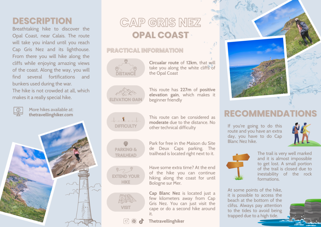
You don’t have a lot of time, to read the full blog post? Here’s an infographic I’ve created with the most important information about this hike.
And that’s it for this week’s blog. I hope you liked it and found it useful. Let me know what you think in the comments!
DISCLAIMER: Did you know? This blog uses affiliate partnerships. When you click and book or make a purchase through one of my blog posts, I may receive a small commission (at no extra cost to you). Thank you for supporting The Travelling Hiker!
OTHER ARTICLES ABOUT FRANCE
ENJOYED THIS GUIDE? PIN IT FOR LATER!
