WHERE TO GET THE BEST VIEWS OF THE CHICAGO SKYLINE
March 18, 2023
Are you planning a trip to Chicago? Then one of the things you should include in your itinerary is to visit at least one viewpoint from which you will be able to admire the Chicago skyline. Don’t know which one to choose? Don’t worry, in this blog, I will share with you where you can get some of the best views of the Chicago skyline.
TABLE OF CONTENTS
DISCLAIMER: Did you know? This blog uses affiliate partnerships. When you click and book or make a purchase through one of my blog posts, I may receive a small commission (at no extra cost to you). Thank you for supporting The Travelling Hiker!
THE GREAT CHICAGO FIRE AND RECONSTRUCTION OF THE CITY
THE GREAT CHICAGO FIRE
In 1871, there was a big fire in the city of Chicago. This fire burnt down approximately 17.500 buildings in the downtown and northern area of Chicago. Roughly one-third of the town was in ruins after the fire.
The fire started in the barn that belonged to the O’Leary family and it quickly spread around the city due to a long drought in that year’s summer.
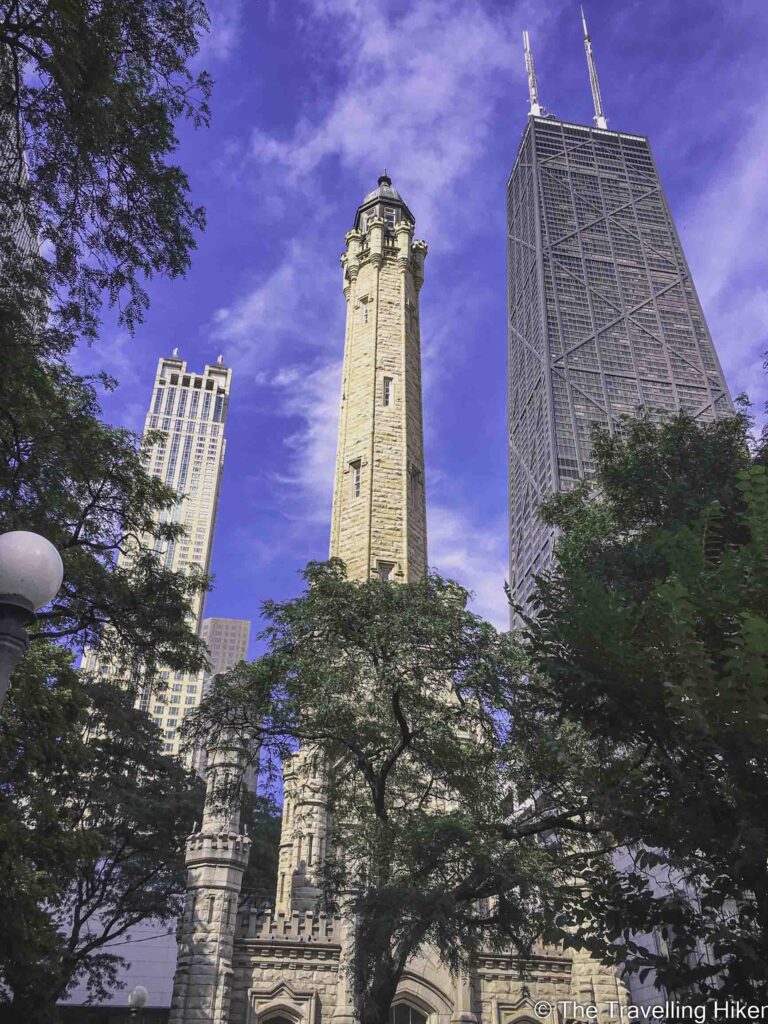
Despite most of the buildings being destroyed because of the fire, a few buildings survived it and they are still standing. Among these, we can find St. Michael’s church, the Chicago water tower, and the Chicago Pumping station.
THE GREAT REBUILT
The fire created an opportunity for architects to experiment with new building techniques and materials. This led to the construction of skyscrapers, which completely change the way modern cities look.
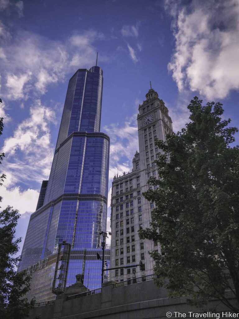
Some of the world’s most renowned architects and designers have contributed to the reconstruction of the city such as Louis Sullivan, Frank Lloyd Wright, and Helmut Jahn.
Today, Chicago continues to be a center of architectural design and innovation, attracting visitors and architects from around the world. They visit the city to explore its rich architectural heritage and to participate in the ongoing evolution of the city.
TIPS FOR YOUR TRIP TO CHICAGO
USE PUBLIC TRANSPORT TO MOVE AROUND
The best way to move around Chicago is with public transport. The Chicago Transit Authority (CTA) operates an extensive network of buses and trains that run throughout the city. You can also use the “L” train (elevated train) system.
The easiest way to use public transport is to get a Ventra Card. The Ventra card can be charged with unlimited travel day tickets that cost 5$/day. To find the closest location where you can buy a Ventra Card, follow this link. You can also download the Ventra Card to Google Pay.
BEST PLACE TO STAY IN CHICAGO
Let’s be real, accommodation in Chicago is expensive. Ideally, the best place to stay in Chicago would be somewhere in Chicago’s Downtown or River North neighborhoods. However, this might blow up your budget.
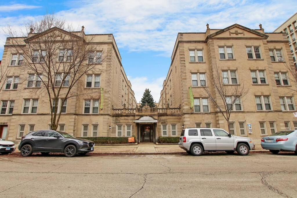
If you’re looking for more budget-friendly accommodation, you might want to look a bit further away from the city center. During my stay in Chicago, I stayed in an apartment located in Hyde Park and had an excellent expetience there. This neighborhood is connected with Chicago downtown in 30 minutes with the express buses or train. Unfortunately, the apartment I stayed at is no longer available but here are some very similar ones.
Modern and Minimalist Apartment
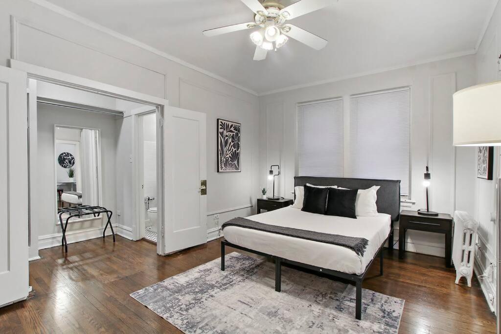
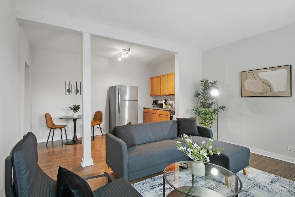
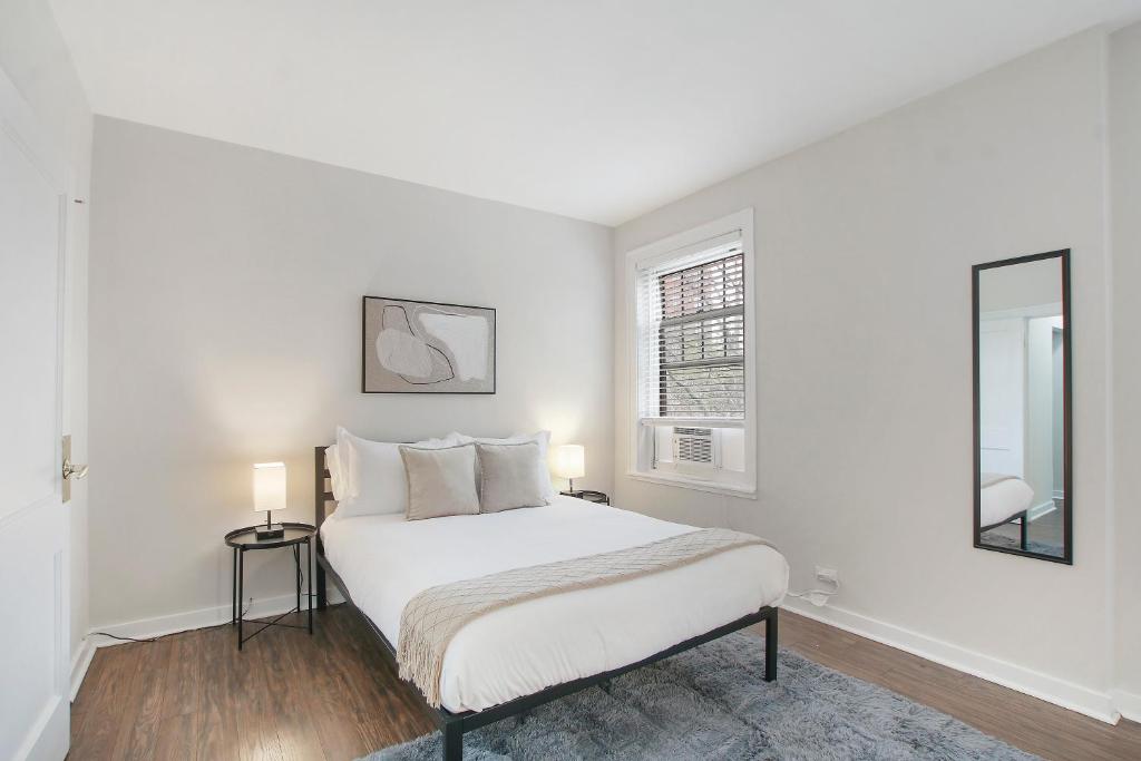
This modern apartment features a one bedroom and one bathroom, that will ensure a relaxing and comfortable stay. There is big supermarket just a few minutes walking from the apartment in case you want to avoid eating out all the time. It is very conveniently located close to the bus stop that will take you to Downtown Chicago.
This 1 bedroom apartment is also very conveniently located in Hyde Park area. It is a spacious one-bedroom apartment with a modern bathroom and a fully equipped kitchen.
Before I start with the best viewpoints, I want to clarify the following two points:
This list is not in order of preference but from the most northern point to the most southern point.
All directions to reach these viewpoints are with starting point at DuSable Bridge since you can get direct bus connections from there to all of them.
1. LINCOLN PARK
Lincoln Park is a park located in the northern neighborhood of Chicago with the same name. The park itself is bigger than New York’s Central Park and it’s full of gems such as the Alfred Caldwell Lily Pond or the Lincoln Park Conservatory. It even has a free zoo!
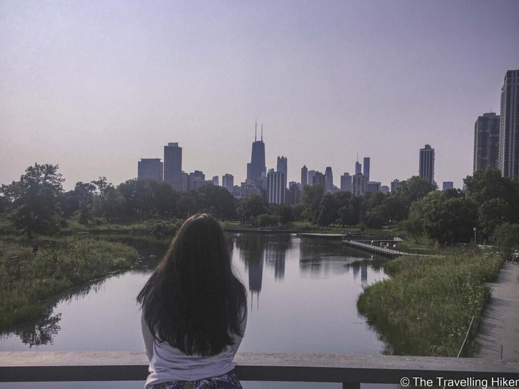
From the Lincoln Park bridge on the South Pond, you will get a beautiful view of the Chicago buildings and their reflection on the water.
How to get there: From DuSable Bridge you will have to hop on bus number 151 (bus stop is located in front of the Tribune Tower) with direction to Devon/Clark for 18 stops. Get off at Stockton & Armitage stop. From there you have to walk 2 minutes in the park to reach the bridge.
2. THE HONEYCOMB
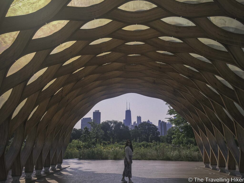
The Honeycomb is a small pavilion within Lincoln Park. As its name suggests it is a small pavilion with its roof imitating a honeycomb. The pavilion was designed by the renowned Chicago Architectural Firm Studio Gang led by Jeanne Gang. It is frequently rented for weddings and different events.
From this pavilion, you will also be able to get a nice view of the Chicago skyline. The view you will get is slightly similar to the one from the bridge over the South Pond. However, the Honeycomb structure will give a nice touch to your photos.
How to get there: Follow the directions to get to the previous location. Once you are on the South Pond bridge, cross it on its left-hand side you will find the Honeycomb pavilion.
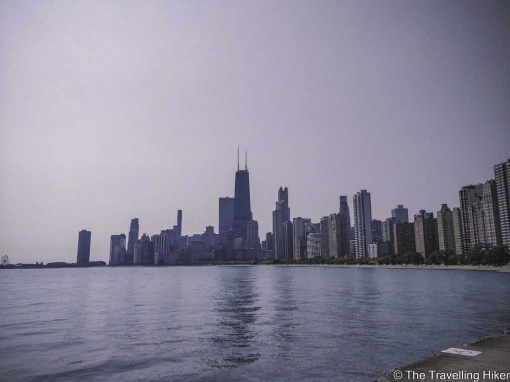
3. NORTH AVENUE BEACH PIER
North Avenue Beach is located right next to Lincoln Park. It is one one of Chicago’s most popular beaches and it is the perfect place to go for a swim if you’re in Chicago on a warm summer day.
At the beginning of this beach, you will find the North Avenue Beach Pier from where you will get super pretty views of Chicago and Lake Michigan.
How to get there: Get bus number 151 in front of the Tribune Tower with direction to Devon/Clar for 15 stops. Get off at Lake Shore & North Avenue stop. From there you will have to walk for 5 minutes until you reach the pier.
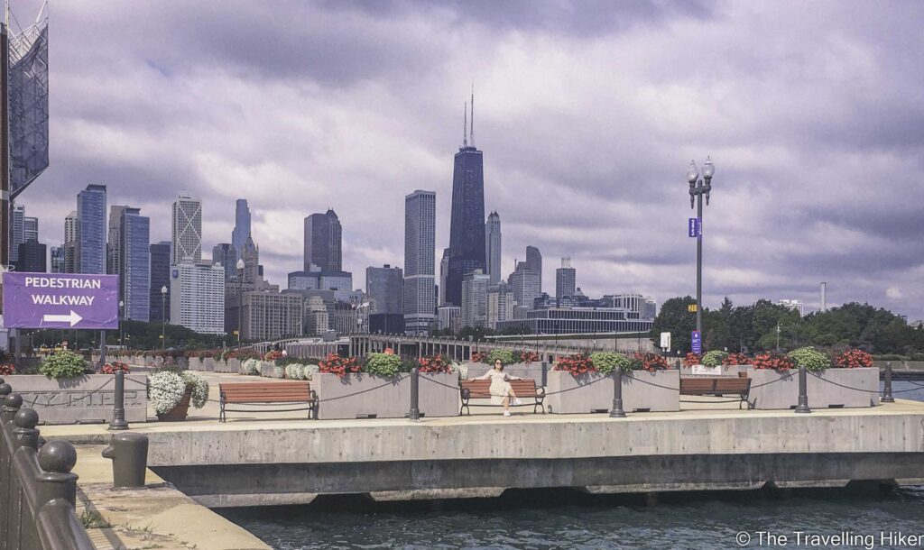
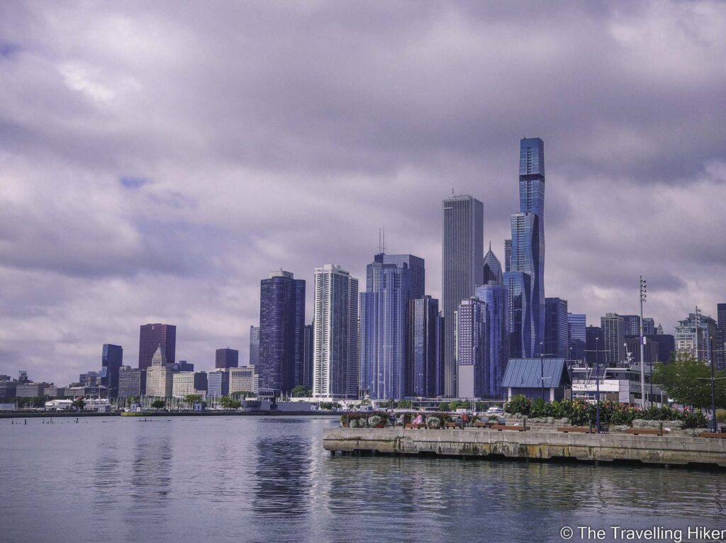
4. CHICAGO NAVY PIER
Chicago’s Navy Pier is a pier that is full of attractions, places to eat, exhibitions, and public events. It is the perfect place to go with friends and have some fun while trying some delicious food in a coll and relaxed atmosphere.
From this pier, you will also be able to enjoy some nice views of the Chicago skyline. Go early in the morning (before the attractions are open) to enjoy the view without many people around you.
How to get there: Get the bus 29 at the corner of Illinois and Michigan Avenue with direction to the Navy Pier. The bus ends at the Navy Pier so there is no possibility to get lost once you’re in the bus.
5. CHICAGO RIVER CRUISE
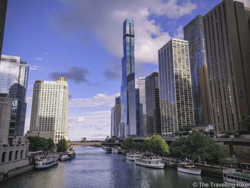
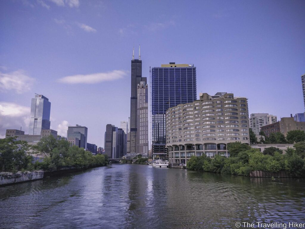
Another fantastic way to admire Chicago buildings is by doing a Chicago Architecture River Cruise. This is a 1.5h cruise along the Chicago River in which a guide will explain to you all the buildings that you see, their architectonic style, and very interesting information about how the city was rebuilt after the Great Chicago Fire.
There is no better way to see the different skyscrapers up close than from the water. Time will fly in this boat tour! But don’t worry, if after the cruise you still want more, you can always have a nice walk along the Riverwalk, to enjoy the buildings at your own pace.
If you want to do the Tour at a particular time of the day, make sure to book your tickets in advance. It is also a guaranteed way of skipping the line: Chicago Architecture Cruise.
How to get there: Most Cruises begin at DuSable Bridge.
6. BP BRIDGE
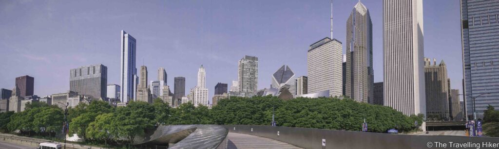
BP Bridge is a bridge in Grant Park designed by Gehry. It is a snakelike bridge that connects Millenium Park with Maggie Daley Park. The bridge is named after the energy company BP after it donated 5 million dollars for its construction. It also serves as a noise breaker from the traffic of Colombus Drvie that goes underneath it.
How to get there: Get on bus number 4 in front of the Chicago Architecture Center with direction to 115th Street for 4 stops. Get off in Michigan & Washington stop and cross Millenium Park until you reach the bridge.
7. BUCKINGHAM FOUNTAIN
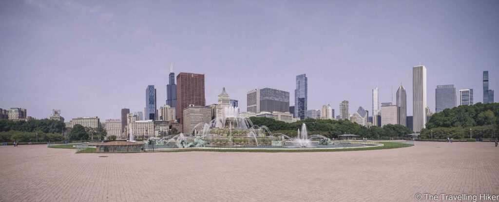
Clarence F. Buckingham Memorial Fountain is located right in the center of Grant Park. It is one of the largest fountains in the world and it was designed to imitate one of the fountains of Versailles Palace. The fountain only operates between mid-May and October and offers water shows every hour. In the evenings these are with colored lights.
From this fountain, you will also be able to enjoy a beautiful panoramic of the Chicago Skyline. It is also, the first one of this list that includes the famous Willis Tower (formerly Sears Tower).
How to get there: Get on bus number 3 or 147 in front of the Tribune Tower in the south direction. Get off in Michigan & Van Buren stop and cross the bridge and Grant Park until you reach the fountain.
8. ADLER PLANETARIUM SKYLINE WALK
Adler Planetarium is the first planetarium that opened in the U.S. It is a public museum dedicated to Astronomy and Astrophysics and it is located within the museum campus.
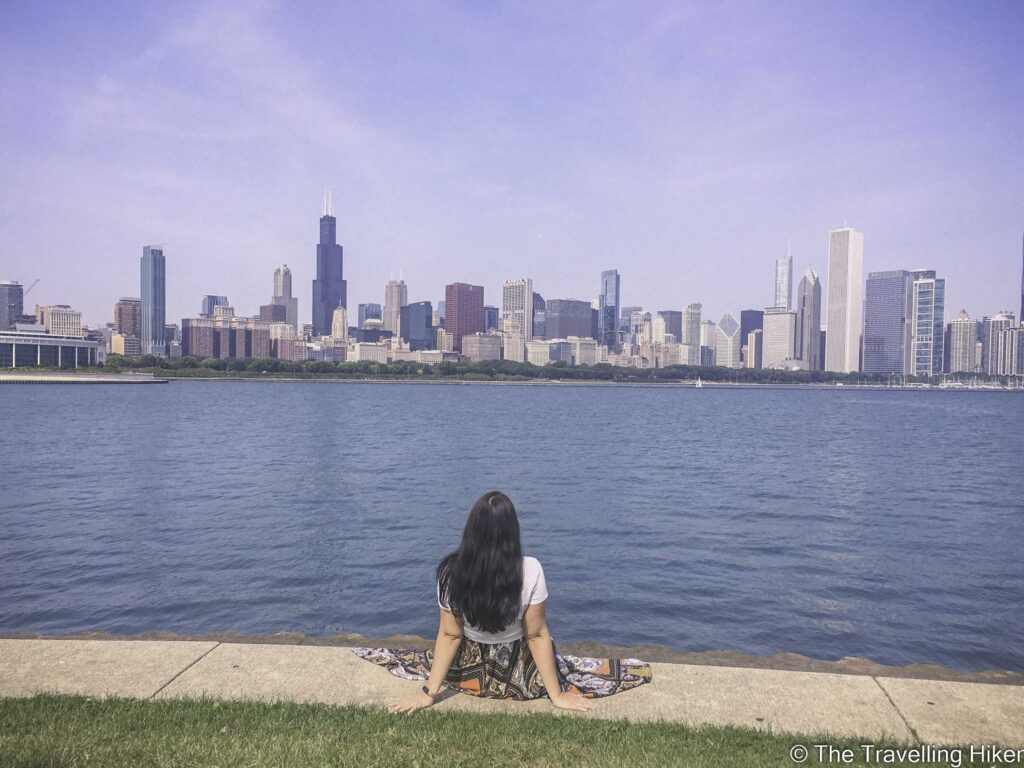
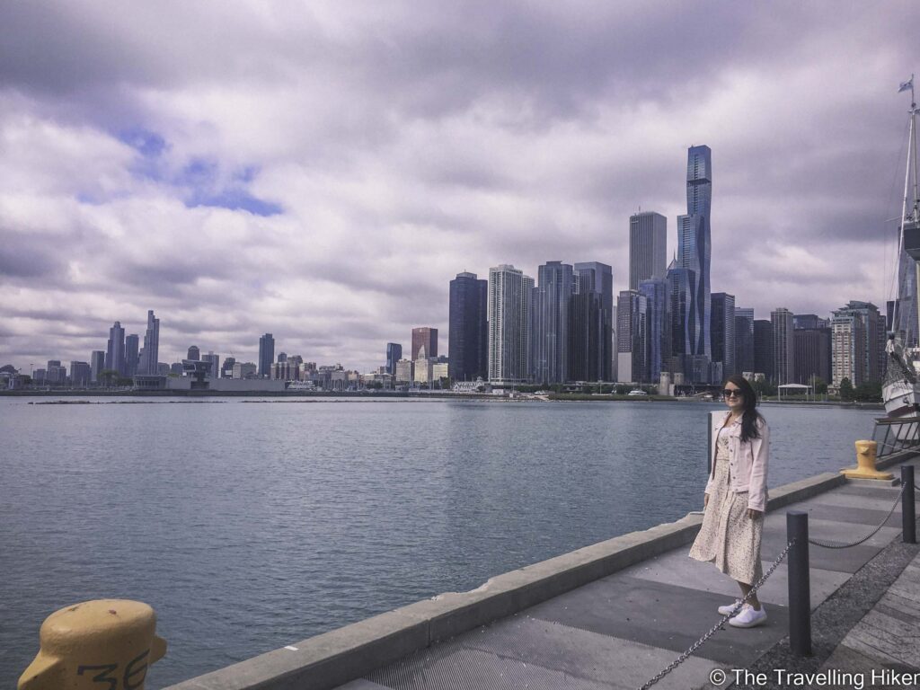
Even if you are not interested in visiting this museum, outside the planetarium you can find the Adler Planetarium Skyline Walk. From here, you will be able to get (in my opinion) the best view of the Chicago skyline.
How to get there: Get on bus 146 in front of the Tribune Tower in direction towards the Museum Campus. Get off at the last stop of this bus line.
9. PROMONTORY POINT
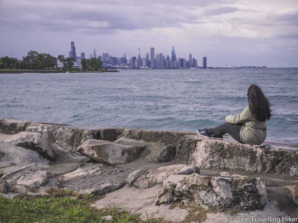
Promontory Point is a man-made peninsula into Lake Michigan. It’s located in Burham Park, in the Hyde Park neighborhood. Within the peninsula, there is a small house that is used for different events and weddings.
The view from Promontory Point was another one of my favorite places to see the Chicago skyline. It is a bit further away from the city but it is still impressive. We discovered it by chance since it was located right next to our apartment in Chicago.
How to get there: Get on bus number 5 with direction south for 23 stops. Get off at 55th St & S Hyde Park stop. From there, walk towards the lake for 5 minutes and you will reach Promontory Point.
MAP WITH ALL LOCATIONS
In this map you will find the exact location of all the viewpoints referenced in this guide and where the photos included in this blog were taken.
HOW TO USE THIS MAP: Click the star next to the map title to add this map to your google maps account. To view it on your phone while traveling, open Google Maps, click on the menu button and go to “Your Places”, click on Maps and you’ll see this map in your list.
I hope you found useful this blog. Let me know what you thought in the comments.