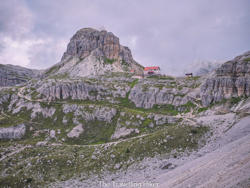
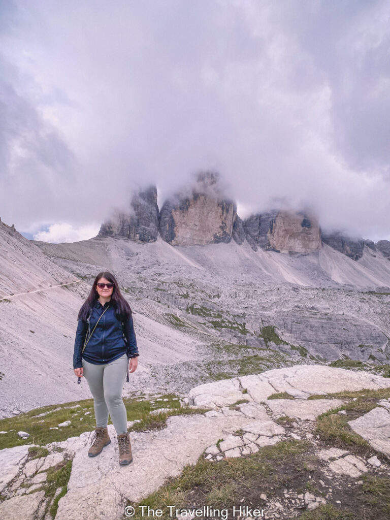
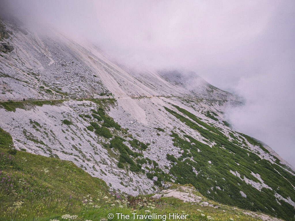
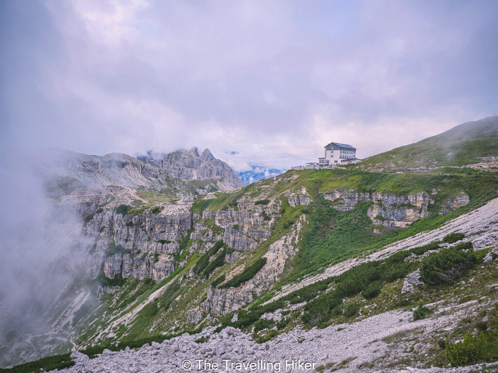
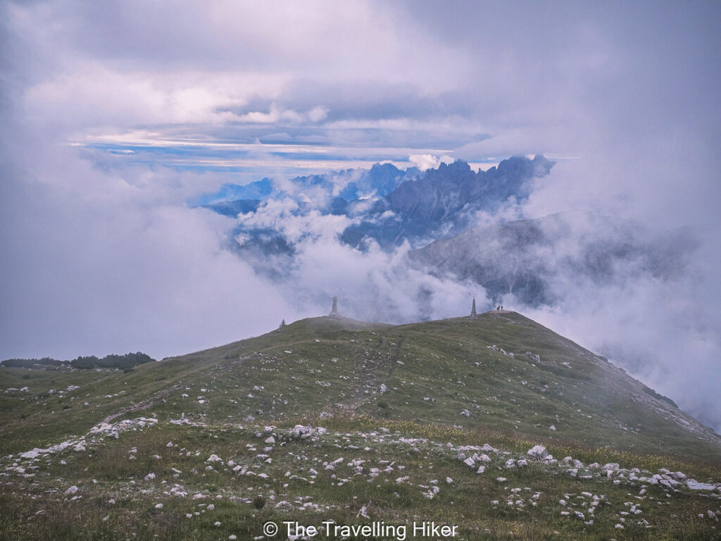
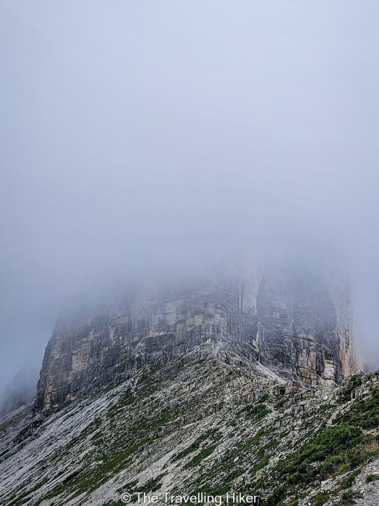
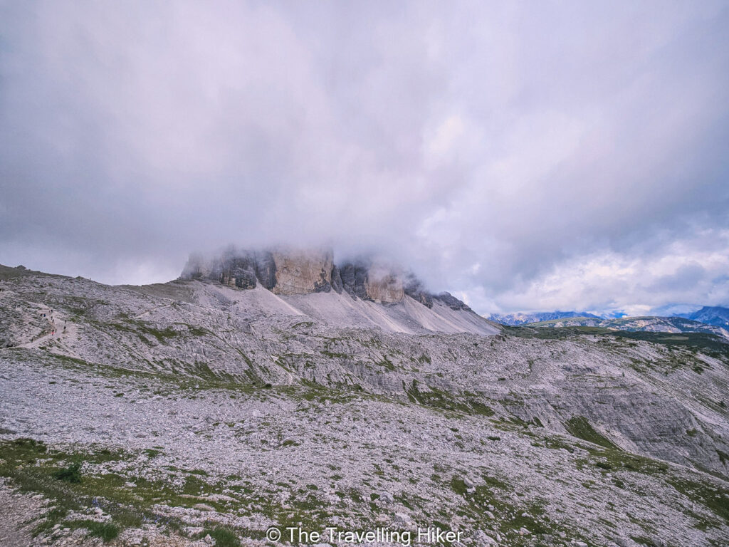
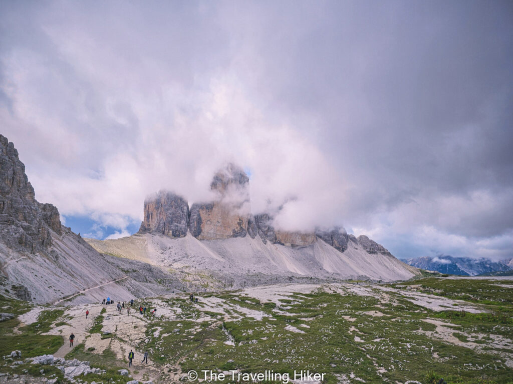
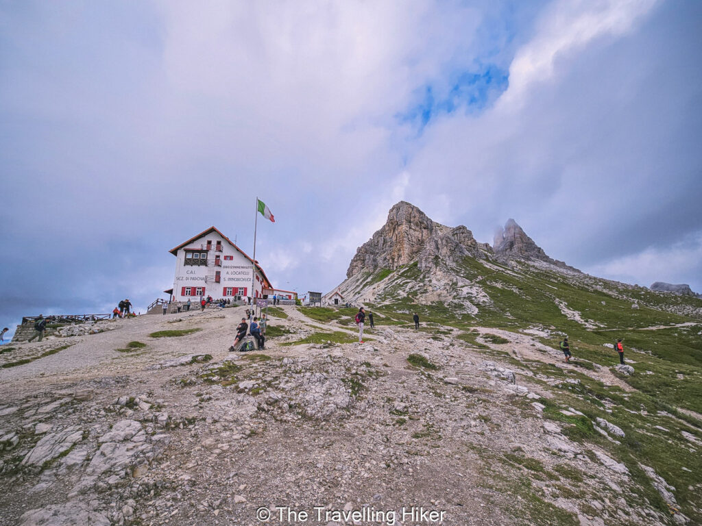
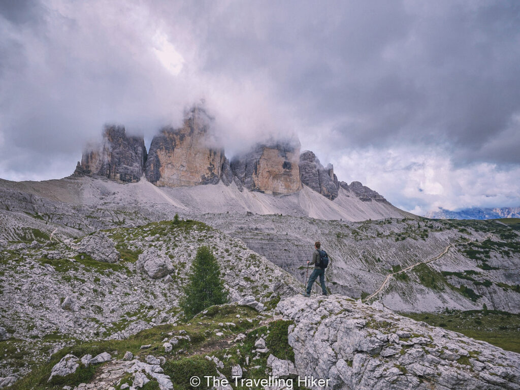
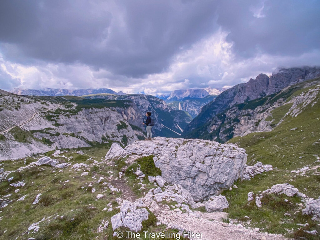
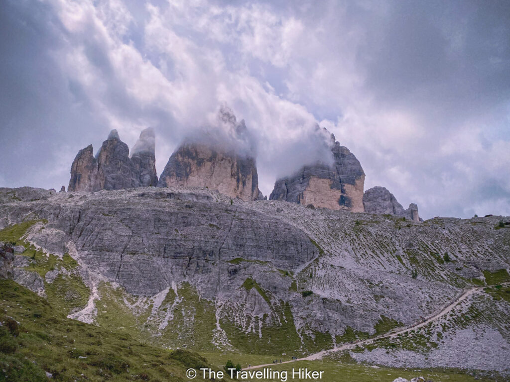
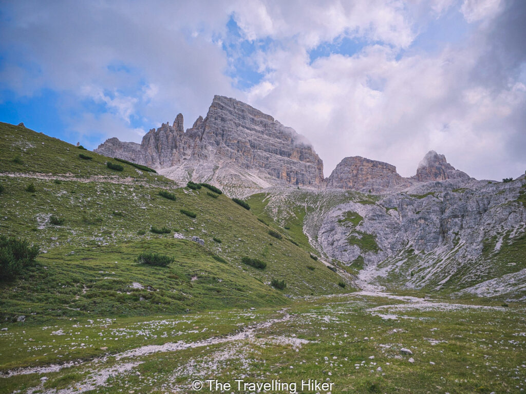
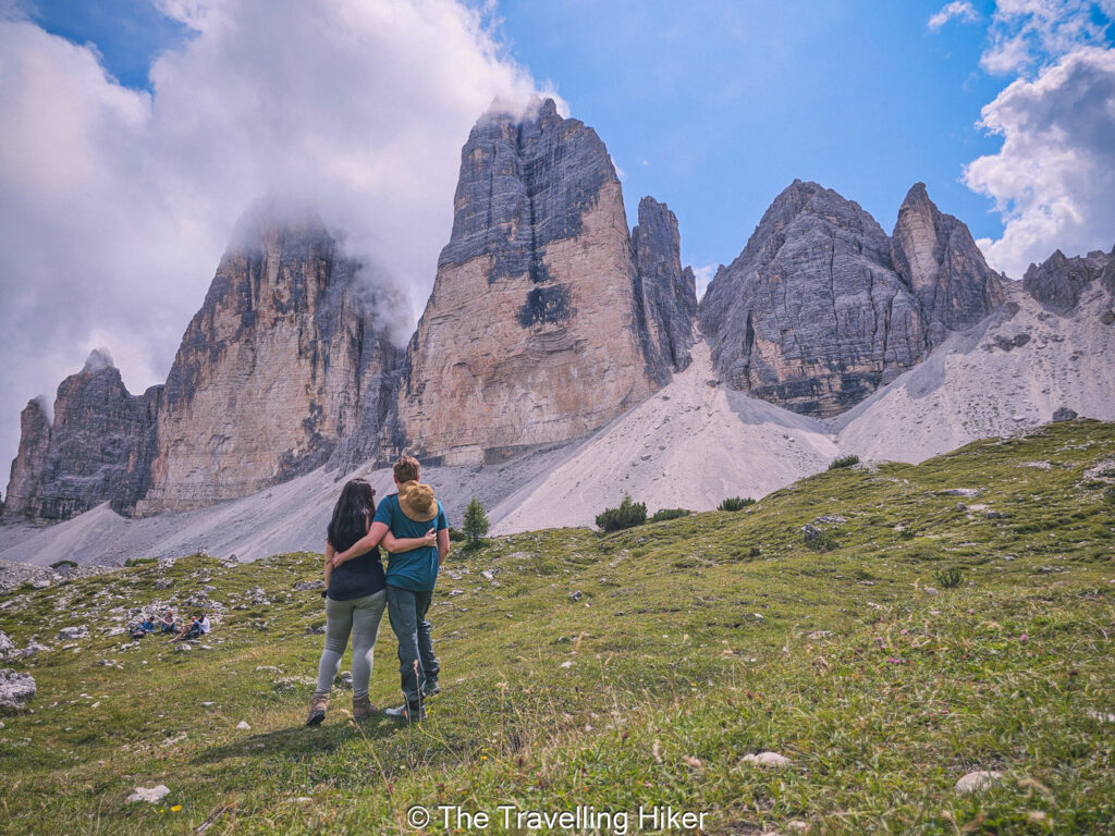
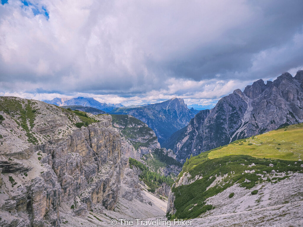
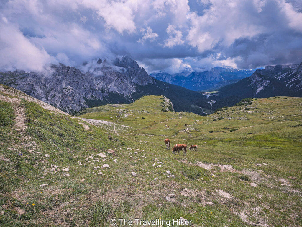
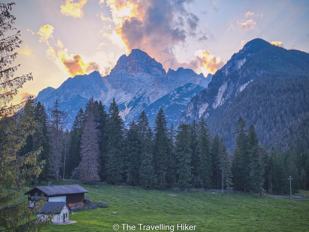
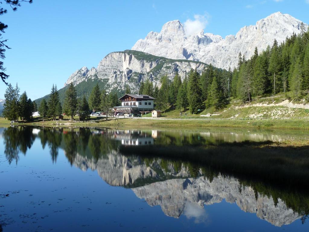
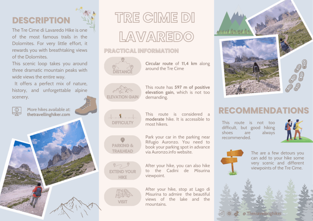
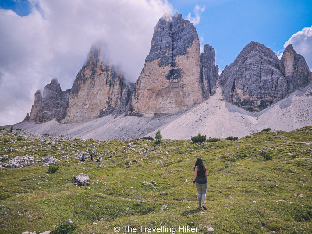
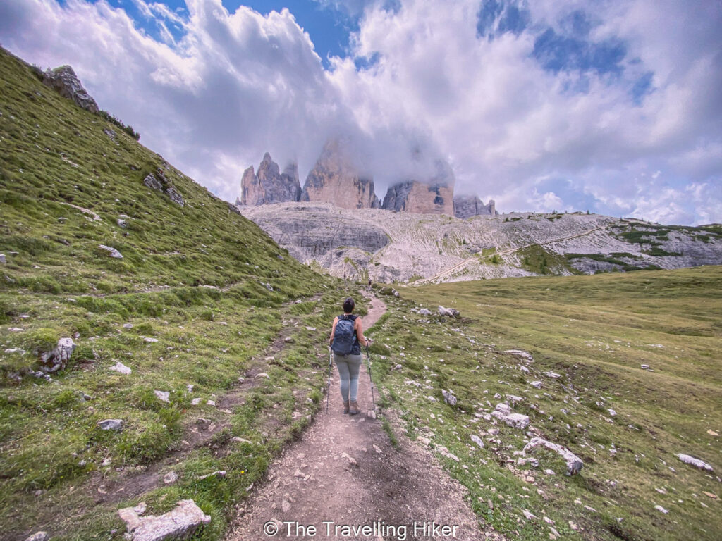
The Tre Cime di Lavaredo Hike is one of the most famous walks in the Dolomites. This trail takes you around three tall stone peaks with wide views in every direction (if you’re lucky with the weather ). The path is easy to follow and suits many hikers. You do not need climbing skills to enjoy it, just good shoes and a sense of adventure.
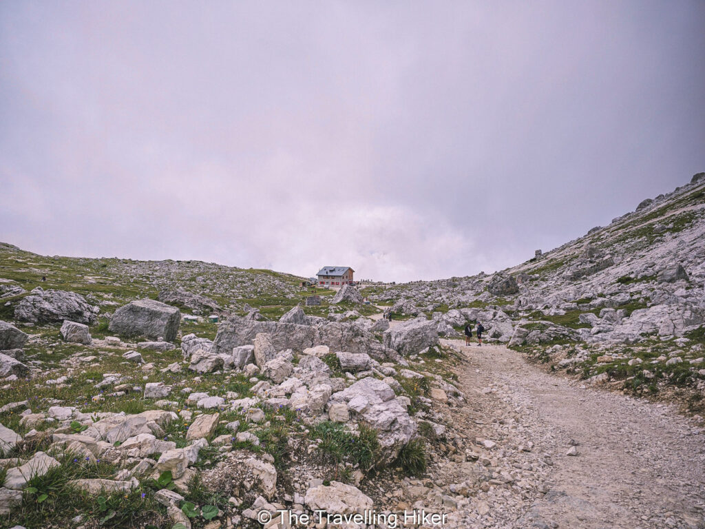
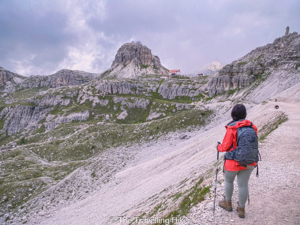
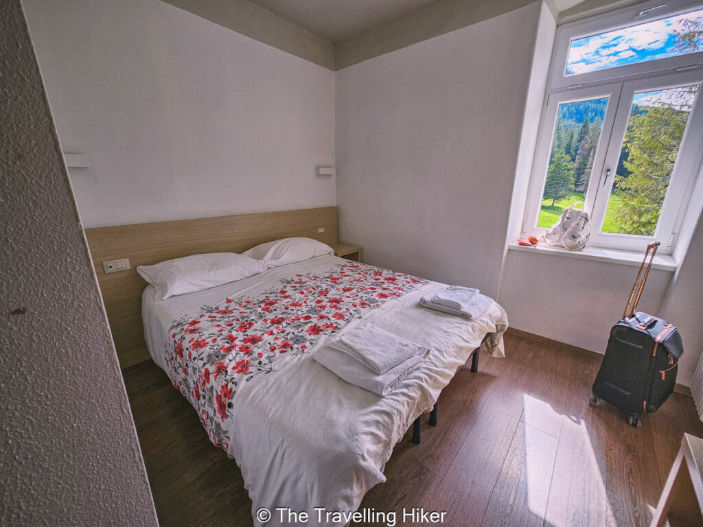
In this guide, you will learn everything you need to plan the hike. I will cover the route, distance, difficulty, and the best time to go. You will also find tips on parking crowds, and what to pack so you can enjoy the day with confidence.
TABLE OF CONTENTS
INTERESTING FACTS ABOUT THE TRE CIME DI LAVAREDO
The name Tre Cime di Lavaredo means Three Peaks of Lavaredo.The three towers are called Cima Grande, Cima Ovest, and Cima Piccola. They stand close together and form one of the most famous mountain shapes in Europe. Many people recognize them even if they do not know their name.
The hike follows old paths with a long history. During World War One, this area marked the border between Italy and Austria – Hungary. Soldiers built trails, tunnels, and shelters in the mountains. Some of these paths later became part of the hiking route you walk today.
The peaks of Tre Cime attract climbers from all over the world. Cima Grande alone has dozens of climbing routes on its steep faces. While climbers tackle vertical walls, hikers enjoy the mountains from below on a safe and scenic path. This mix of adventure styles adds to the special feel of the area.
PRACTICAL INFORMATION ABOUT THE HIKE
HOW TO GET TO TRE CIME DI LAVAREDO?
Getting to the Tre Cime di Lavaredo is simple but you will have to plan ahead. The hike starts at the parking area near Rifugio Auronzo, which sits high in the mountains.
By Car & Parking Lot
The most common way to reach Tre Cime di Lavaredo is by car. From Cortina d’Ampezzo, you need to drive towards Carbonin along the SS51 (Strada Statale 51). From here, you will take the SP49 towards Misurina Lake. There will be clear signs that will say Tre Cime di Lavaredo. Right before Lago di Misurina, the private 7 km road that leads to Rifugio Auronzo begins.
This private road is only open during the summer months (generally between June and October), except during adverse weather conditions.
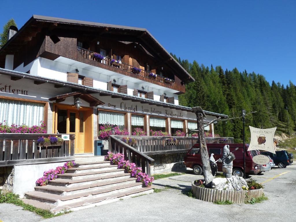
Parking: Since the summer of 2025 the number of cars that can drive up to Rifugio Auronzo is limited. To access this road, you will have to previously reserve a parking spot. You can learn more about the reservation process here.
In 2025, the parking fee was 40 € per car and 60 € per camper van. However, these prices tend to vary every year. You can check updated information on prices at this website.
The booking system is only available 1 month before your visit day. You can book your parking spot here.
By Bus
If you don’t want to stress about finding a parking spot at Rifugio Auronzo, it is also possible to reach the trailhead by bus. Buses rund from nearby towns like Cortina d’Ampezzo and Dobbiaco to the Tre Cime area.
- From Cortina, you need to take the shuttle bus from Dolomitibus
- From Dobbiaco, take the shuttle 444 from Sudtirolmobil
WHAT EQUIPMENT DO YOU NEED TO HIKE TRE CIME DI LAVAREDO?
You do not need special gear to hike Tre Cime di Lavaredo, but the right equipment makes the walk safer and more enjoyable. Weather can change fast in the mountains, even in summer. Good preparation helps you stay comfortable on the trail.
- Sturdy hiking shoes or boots. The path is wide, but it has rocky and uneven sections. Shoes with good grip help you walk with confidence and protect your feet during long stretches.
- Comfortable and breathable clothing that you can layer. A light jacket or fleece keeps you warm when clouds roll in. A rain jacket is useful, even on sunny days. Avoid cotton if possible, as it dries slowly.
- Bring enough water and snacks for the hike, especially on warm days. You can always refill your water bottles at rifugios or grab something to eat there but they do tend to get very busy in the summer months.
- Sun protection is also important when hiking. A hat, sunglasses, and sunscreen protect your skin and eyes.
- Trekking poles can help with balance, especially if you have knee pain or want extra support.
- Small backpack to hold your gear.
WHEN IS THE BEST TIME TO HIKE TRE CIME DI LAVAREDO?
The Tre Cime di Lavaredo trail is officialy open from June to early October. During these months, the trail is usually free of snow and easy to follow. Mountain huts are open, and the toll road to the trailhead is accessible by cars. Out of these months, it is also possible to hike this trail but you will have to start your hike at Lake Antorno. It is highly possible that some sections of the trail are covered in snow, so it is only recommended that you do so if you are a seasoned hiker.
July and August offer warm weather and long days. These months are great for clear views and stable conditions. They are also the busiest time of the year. Starting early in the morning helps you enjoy the hike before crowds arrive. However, hiking in July or August doesn’t automatically grant you good weather conditions since mountain weather is very unpredictable. We did this hike in early August, and unfortunately, it was so clouded that we could not see the Tre Cime during the first half of the hike.
Time of the day matters as much as the season. Early mornings and late afternoons offer softer light and fewer people. If you want a quieter experience, these hours are the best choice for the Tre Cime di Lavaredo hike.
TRE CIME DI LAVAREDO HIKE
HIKE STATS
Trail Start/End – Rifugio Auronzo. The parking lot is only accessible for those who have reserved a spot.
Distance – 9,4 km (11,4 km with some add-ons)
Elevation Gain – 597 m
Level – Easy to Moderate
Route Type – Loop trail
Estimated Time Needed – 6 to 7 hour (including plenty of time to stop for photos). Remember to stay within the marked trails.
Best Time To Visit – July to September to ensure the best weather conditions.
HIKE MAP
I always use the AllTrails App during my hikes. The app has a GPX map that can help you stay on the right trail during your hikes. For this hike, we followed the Tre Cime di Lavaredo – Lagho dei Piani Trail.
TRE CIME DI LAVAREDO HIKE - STEP BY STEP GUIDE
Direction & Trailhead
The trailhead is right at Rifugio Auronzo so just walk towards the rifugio when you’re parked. The parking lot of Rifugio Auronzo is quite big so depending on where you were told to park, it will either be a short walk or a longer one. However, don’t worry if you had to park quite far from the rifugio because the trail ends at the opposite site of the parking lot. This means, your walk to the car will be shorter at the end.
Once at Rifugio Auronzo there is a sign indicating the start of the trail. If you miss it or can’t see it, just look for the big gravel path that everybody in walking on.
Tip: Be careful about stepping on wet stones on the side of the parking lot as they can be quite slippery. I’m embarrased to admit that I stepped on one and I fell to floor. Luckily, I only bruised my ego with this silly fall but it could have been worse.
Rifugio Auronzo to Cappella degli Alpini (trail #101)
The first part of the trail is the easiest part of the hike. It is a wide gravel trail that runs on the side of the Tre Cime. To your right, on a clear day you can see the Auronzo valley and the Cadini di Misurina rocky peaks behind the valley.
Unfortunately, the day we had booked our parking lot the sky was covered with low clouds so there was almost no visibility of the scenery. However, since we had already payed for our parking lot, we decided to do the hike anyway and hope that the weather would clear out.
After hiking for approximately 1km you will reach Cappella degli Alpini, a small cute chappel at the feet of the peaks. By the time we arrived at the chappel, it was completely covered in clouds, so it was barely visible.
Cappella degli Alpini to Mirante do Vale dos Tres Picos de Lavaredo (trail #101A)
Once you arrive at Cappella degli Alpini, you can choose to continue along the official trail, or take a short detour to Mirante do Vale dos Tres Picos de Laveredo. This detour will add approximately 600 meters to your trail but you will get a beautiful view of the valley and the southern face of Tre Cime.
After admiring the view from the two monuments, you just need to retrace back your step to the chappel.
In our case, we decided not to do it because there was no visibility at all. However, if it had been a clear day, I would have definitely added this short detour to hike.
Cappella degli Alpini to Rifugio Lavaredo (trail #101)
Back on the main trail, you continue walking to Rifugio Lavaredo. This part of the trail is only 500 meters long and it should take you approximately 10 minutes to reach this second rifugio.
At Rifugio Lavaradeo you can rest, get something to eat or drink or use the toilet.
Again, the Rifugio was almost covered in fog and clouds. It was so disappointing and frustrating… However, you need to know that in the mountains it is always possible to get bad weather (even during August).
Rifugio Lavaredo to Forcella Lavaredo (trail #101)
From Rifugio Lavaredo, the trail starts to gradually climb to Forcella Lavaredo. This part of the trail is approximately 1 km long with a positive altitude gain of 130 meters. The uphill is not very strenous so it should be quite easily done as long as you are used to hiking.
From Forcella Lavaredo you should have a good view of Rifugio Lavaredo and the Tre Cime. In our case, the view was not the best…
Forcella Lavaredo to Rifugio Locatelli (trail #101)
Once you’ve reached the top of Forcella Lavaredo, you get to see the Puster Valley (Val Pusteria) and the other peaks of South Tyrol in the distance. You should also see as well Rifugio Locatelli or Drei Zinnen Hutte with the Sasso di Sesto standing right behind him.
The trail continues for approximately 2 km with some gentle ups and downs towards Rifugio Locatelli. Tre Cime sitting on your left and Monte Paterno on your right. While you walk, you will find several spots where you can turn around and enjoy the views of the peaks and the valley.
As soon as we reached Forcella Lavaredo, the peaks were still covered in clouds but the Puster Valley was free of clouds so at least we started to enjoy some views and felt that at least our hike was not completely in vane. We slowly started to walk toward Rifugio Locatelli and stopped a few times to enjoy the views and relax. It felt like the clouds were slowly starting to lift a little bit so we kept stopping in the hopes of getting a better view of Tre Cime di Lavaredo.
Rifugio Locatelli
At some point you will reach a trail junction and you will have to decide whether you want to hike up to Rifugio Locatelli or not. The hike up to Rifugio Locatelli is short (300 meters) but steep If you do go up to Rifugio, you will be rewarded with some beautiful views of Tre Cime and Laghi dei Piani on the other side.
Since this hut is more or less half way of the loop, Rifugio Locatelli is the perfect spot to grab a bite to eat and relax from its terrace while you get the most epic views of Tre Cime di Lavaredo.
We stopped at Rifugio Locatelli for almost an hour and ate our sandwiches. The clouds were slowly going away and we were getting more hopeful by the minute.
Laghi dei Piani
From Refugio Locatelli, you can add a 1 km detour around 2 small lakes, the Laghi dei Piani. To do this detour, keep walking downhill through behind the rifugio. The trail goes down through a grass hill full of rocks until you reach the lakes and walk around them.
We were planning on doing this detour but since it was still quite clouded, we decided to skip it and just admire the lakes from the viewpoint next to Rifugio Locatelli.
Sasso di Sesto
Before leaving Rifugio Locatelli, you can also add a second detour to Sasso di Sesto to find two additional viewpoints.
The first viewpoint is next to a small alpine Madonna della Croda church. From here, you can get a beautiful photo of the church with the three peaks on the back.
If you continue hiking upwards towards Sasso di Sesto, you will reach a cave where you can take one of the most famous shots of Tre Cime di Lavaredo. The hike to the cave is quite steep but the views compensate the effort.
Again due to the low visibililty we decided to skip this detour. It was so frustrating to skip all these spots I had been planning to see.
Rifugio Locatelli to Malga Langalm (trail #105)
Once you’re done with all the detours, you have to retrace your steps back to the junction where the hike up to Rifugio Locatelli begins. From here, you start descending into the valley with many amazing views over the Tre Cime.
The trail gets narrower and it zigzags down all the way into the valley. Once at the bottom, you cross the valley and then begin a steep uphill until Malga Langalm hut. This part is the most challenging part of the hike as it is quite steep but just take it slow and make as many stops as you need to rest and enjoy the views.
This part of the trail was the most epic one for us since the weather began to change as soon as we left Rifugio Locatelli and we started enjoying some epic views. We were so happy that the weather was finally turning that we kept stopping almost every few hundred meters in awe.
Malga Langalm
Once at top, you have a short walk to Malga Langalm hut. There you can get a fantastic view of Tre Cime di Lavaredo and the valley. Take some time to relax and enjoy the views you get from there!
Malga Langalm or Lange Alm is another beautiful place where you can rest and refuel with some food or drinks.
Malga Langalm to Parking Lot
From Malga Langalm the trail continues for another 2,4 km until you reach the parking lot. The trail first goes uphill (nothing too difficult) until Forcella di Col de Medo and then it descends gently into the parking lot.
As soon as you reach Forcella di Col de Medo, you get see some beautiful meadows witn the Cadini di Misurina in the background. Just enjoy these last views before returning to the parking lot.
OTHER THINGS TO DO NEAR TRE CIME DI LAVAREDO
Looking for ideas on what to do after your loop around Tre Cime di Lavaredo? Here a few ideas for you.
- Hike to Cadini di Misurina viewpoint. From Rifugio Auronzo you can go on a short 3,2 km to the Cadini di Misurina viewpoint where you will get a breathtaking panoramic view of the Cadini di Misurina jagged peaks.
- Go for a swim at Lago Antorno. On a warm summer day, Lago Antorno is the perfect stop to enjoy a cooling and relaxing swim on an alpine lake.
- Walk around Misurina Lake. Visit the beautiful Lago di Misurina that lies at the feet of the Cadini di Misurina peaks. The trail that goes around the lake is only 3 km with barely any elevation gain.
WHERE TO STAY NEAR TRE CIME DI LAVAREDO?
Looking for accommodation near the trailhead? I get it, after a hiking day you are tired and the last thing you want to do is have to drive for a long time to reach your accommodation. Here are two suggestions that are relatively close to the hike.
Hotel Croda Rossa
Hotel Croda Rossa is a charming hotel with a great location. It is located only 13 km away from Rifugio Auronzo. The hotel is located on a beautiful valley with great views of Monte Cristallo. Rooms were spacious and comfortable. The garden is perfect for relaxing after a day of hiking in the Dolomites.
We stayed at this hotel for 6 nights and had a fantastic day here. The only downside to this hotel was the food.
Albergo Chalet Lago Antorno
Albergo Chalet Lago Antorno is a beautiful and recently renovated hotel located only 6 km away from Rifugio Auronzo. You can’t get any closer to the trailhead than this!
The hotel is beautifully located on the shore of Lago Antorno and all rooms are spacious and have a private bathroom.
Photos from Booking.com
TRE CIME DI LAVAREDO: FAQ
1. IS IT WORTH HIKING TRE CIME DI LAVAREDO?
In my honest opinion, absolutely yes! Yes, this is a very popular trail but the views are just stunning! The path is not too difficult and the views are varied with a mix of mountain peaks, beautiful valleys and alpine meadows.
2. HOW CAN i AVOID CROWDS ON TRE CIME DI LAVAREDO?
The best way to avoid crowds is to start your hike f. Arriving before mid morning gives you quieter trails and easier parking. Late afternoon can also be calmer once many visitors leave. Just keep in mind sunset times to avoid hiking on the dark!
3. DO YOU NEED A PERMIT TO HIKE TRE CIME DI LAVAREDO?
You do not need a hiking permit for the Tre Cime di Lavaredo hike. However, if you drive to the trailhead, you must book and in advance a parking spot at Rifugio Auronzo. Otherwise, you will not be able access the road.
4. IS THE HIKE OPEN YEAR ROUND?
The hike is not open year round. Snow usually covers the trail from late autumn to late spring. The toll road also closes during winter. Summer and early autumn are the safest times to hike Tre Cime di Lavaredo.
MAP WITH ALL LOCATIONS
HOW TO USE THIS MAP: Click the star next to the map title to add this map to your google maps account. To view it on your phone while traveling, open Google Maps, click on the menu button and go to “Your Places”, click on Maps and you’ll see this map in your list.
HIKE SUMMARY AND INFOGRAPHIC
FINAL THOUGHTS
The Tre Cime di Lavaredo hike is one of those experiences that trul lives up to its reputation. The views are stunning, the trail is enjoyable, and the setting feels specials from start to finish. It is a hike that you will remember!
One thing to keep in mind is the parking reservation system. Having to book a parking spot well in advance is not ideal, especially since mountain weather can change quickly. It is stressful to plan your hike without knowing if the skies will be clear. Still with some luck and good attitude, it usually works out.
Even with this small drawback, the hike is absolutely worth it. The feeling of walking among such iconic peaks makes it unforgettable. If you have the chance to hike Tre Cime di Lavaredo, do not hesitate!
DISCLAIMER: Did you know? This blog uses affiliate partnerships. When you click and book or make a purchase through one of my blog posts, I may receive a small commission (at no extra cost to you). Thank you for supporting The Travelling Hiker!
OTHER ARTICLES ABOUT ITALY
PIN THIS GUIDE FOR LATER!

